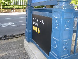
Wayfinder NYC Utilizes Gps Technology To Offer Pedestrians Directions By Overlaying Directions On The Phone's Camera View To Nearby Subway Stations, Eliminating The Need For Maps
Navigate NYC's Subway Easily with New App

Forget that unwieldy, old-fashioned street map--a new phone app can help you find the nearest New York City subway station just by glancing around you. Wayfinder NYC gives walking directions to subway and PATH stations that are calculated by GPS. The directions are superimposed over the phone’s camera. The program won big last night (Thursday, Feb. 4) for having the best new use of city data online.
Wayfinder, which works on Android mobile phones, was designed in response to the city’s “NYC BigApps” competition, which gave programmers 170 sets of city data and the mandate to find new ways to use them online. Data provided included everything from restaurant inspection results to taxi info to library catalogues and traffic updates. Mayor Mike Bloomberg presented the awards last night to Victor Sima and Steven Lao at the IAC building in Chelsea.
NYC Holds Phone App Competition
More than 110 applications were submitted in this inaugural competition. The point of the challenge? To give a nod to New York’s high-tech and media industries--and also to give New Yorkers much-needed improved services in certain areas. It was also designed to make New York City government more accessible to New Yorkers. The competition was part of Mayor Bloomberg’s initiative to make city government more transparent to the public. Mayor Bloomberg, of course, made his sizable fortune in information technology himself, so although the designers won about $7500 in prizes, who knows what’s next?


